
From Clarkson's Farm to African Safaris: How Drones Are Changing the Future of Conservation
Published: 3 July 2026
There are certain TV shows that have an uncanny ability to send you down a Google rabbit hole. For me, Clarkson's Farm is one of them. Yes, Jeremy Clarkson is entertaining, but beyond the humour, the latest season had me fascinated by something else entirely: the incredible advances in agricultural technology.
Watching farmers use drones to map fields, monitor crops and make smarter decisions from the sky made me realise just how rapidly this technology has evolved. These aren't just flying cameras anymore. They're becoming intelligent farming partners, helping produce more food while reducing waste, labour and environmental impact.
And before you say, "Kirsty, farmers in America have been doing this for years," hear me out.
As the girl from Africa who has only ever associated drones with aerial photography, this was a whole new world for me.
One Google search became five. Five became twenty. Before long I'd completely abandoned farming and found myself reading about something much closer to my heart: African conservation (psst, read all about our conservation partners here).
What started as curiosity quickly became genuine admiration. I had no idea just how many organizations use the very same technology to protect some of the continent's most endangered wildlife.
The Same Technology. A Very Different Mission.

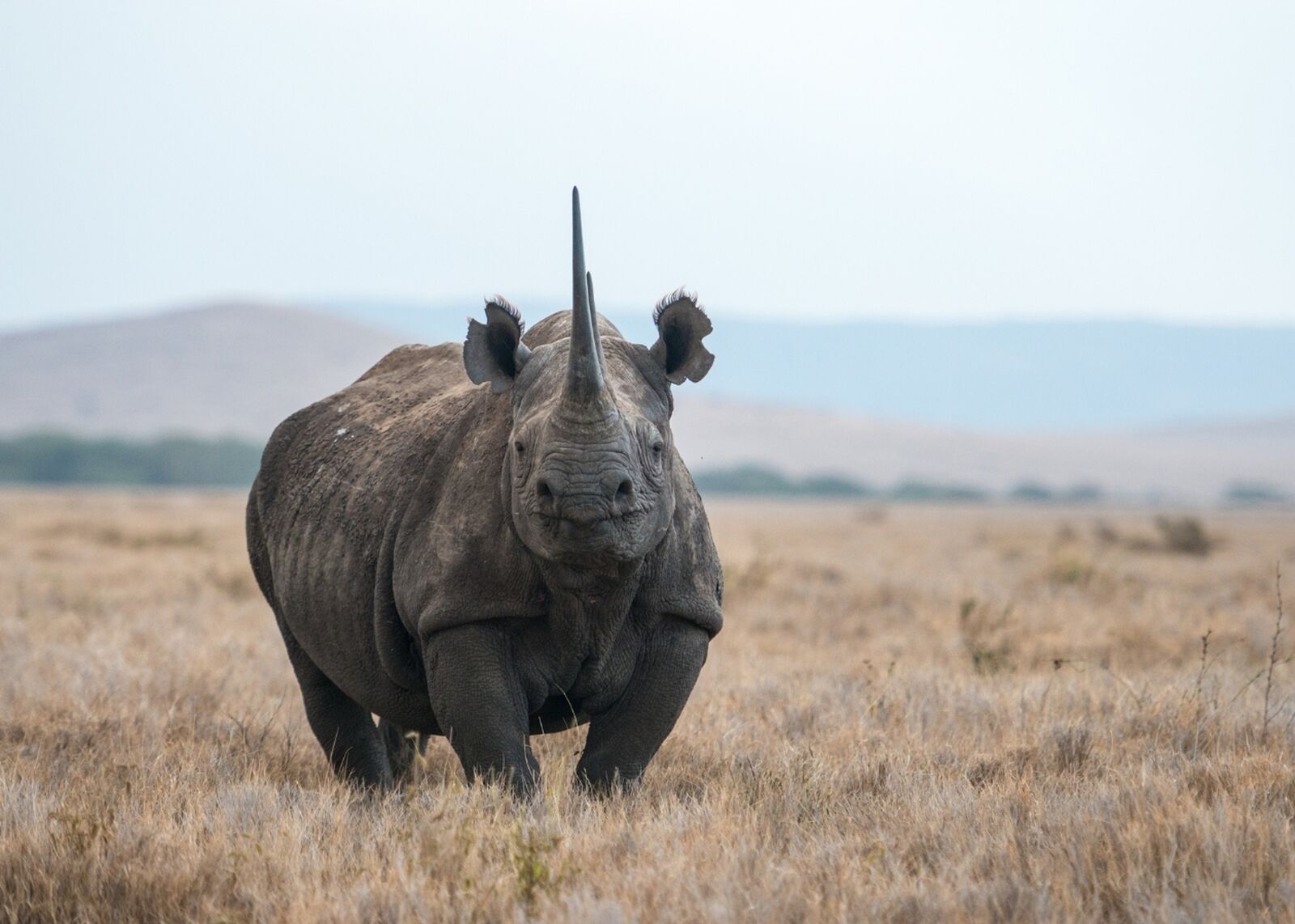
Across Africa, drones are becoming an increasingly important part of conservation. Instead of locating patches of unhealthy wheat like on Clarkson's Farm, they're locating elephant herds. Instead of checking irrigation systems, they're helping rangers detect suspicious movement after dark. Instead of measuring crop yields, they're helping protect rhinos. You get the idea by now I'm sure!
What fascinated me even more, was discovering that drones are only one part of a much bigger picture. Conservation teams are increasingly combining aerial surveillance with thermal imaging, GPS collars, satellite imagery, camera traps and artificial intelligence to build a far more complete understanding of what's happening across enormous protected areas.
Every flight adds another layer of information. GPS collars reveal animal movements, camera traps capture activity on the ground, satellites monitor changes to habitats and drones provide a live aerial view that simply wasn't possible a decade ago. Together, these technologies allow conservation teams to make faster, better-informed decisions while covering landscapes that would otherwise be almost impossible to monitor effectively.
You can read more about how organisations like WWF are investing in conservation technology through their Wildlife Crime Technology Project: https://www.worldwildlife.org/our-work/wildlife/wildlife-crime/wildlife-crime-technology-project
Taking Back the Night
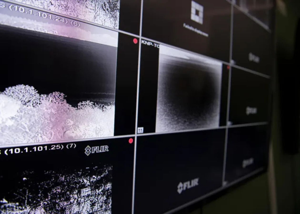
One of the greatest challenges facing anti-poaching teams has always been timing. Most illegal poaching happens under the cover of darkness, when visibility is poor and protected areas can stretch across thousands of square kilometres. Rangers are often trying to protect landscapes so vast that covering them on foot or by vehicle alone is practically impossible.
Using fixed-wing drones (read more about what these exactly are here), are equipped with thermal imaging cameras, operators can detect the heat signatures of both wildlife and humans long before either becomes visible to the naked eye. Flying quietly above reserves, the drones transmit live information to ranger teams on the ground, giving them an opportunity to intercept suspects before animals are harmed rather than simply responding after the fact.
That shift from reacting to preventing wildlife crime is one of the most exciting developments I've come across.
Read a case study on how drones have assisted conservation in Kenya here.
Looking Beyond Anti-Poaching

What surprised me most was that drones aren't only being used to stop poachers. They're increasingly helping conservationists monitor rhino health, locate mothers with calves, check on injured animals and assist veterinary teams during wildlife translocations. Many of these tasks once relied on helicopters, which are expensive, noisy and stressful for wildlife. Drones offer a quieter, more affordable alternative while still providing incredibly detailed information from above.
As drone technology becomes more accessible, it's opening up opportunities for smaller reserves and conservation organisations to benefit from aerial monitoring that would once have been financially out of reach.
Artificial Intelligence Joins the Team

Artificial intelligence (AI) is also beginning to play a much bigger role in conservation. Modern reserves collect an astonishing amount of information every day, from camera trap images and drone footage to GPS data from collared animals and satellite imagery. Reviewing all of that manually takes enormous amounts of time.
AI is helping by analyzing footage far more quickly than humans can, recognizing the difference between people and wildlife, identifying unusual movement and highlighting potential threats that deserve immediate attention. Some projects are even exploring ways of combining historical poaching data with weather patterns, terrain and animal movement to help conservation teams decide where patrols might be most effective.
It's still an evolving field, but it's exciting to see technology being used in ways that support, rather than replace, the expertise of people working on the ground.
For more information, read this Forbes article.
Protecting Wildlife and the People Who Protect It

One thing I hadn't really considered before reading about all of this is that these technologies aren't only helping wildlife.
Anti-poaching rangers often work in incredibly dangerous conditions, confronting heavily armed criminal syndicates in remote areas, and most of the time in the darkness of night. Having a drone survey an area before a patrol enters gives teams the upper hand, allowing them to make those operations considerably safer.
Conservation Has Always Evolved

When most people imagine an African safari, they picture something timeless, and rightly so. The landscapes, the wildlife and those unforgettable moments in nature are exactly what draw people here.
Behind the scenes, though, conservation has never stood still.
Visitors may never notice these technologies during their safari - and to be honest, that's probably the greatest compliment they could receive! The best conservation tech quietly supports the experience without taking anything away from the wildness of Africa itself.
Why This Gives Me Hope
Working in African tourism, it's easy to become overwhelmed by stories of habitat loss, climate change and illegal wildlife trade. Those challenges are very real - and I'm not sugarcoating things here - but so is the determination of the people working to tackle them.
What struck me most during my unexpected Google adventure wasn't simply how advanced drones have become. It was discovering just how many engineers, ecologists, pilots, software developers, veterinarians, rangers and local communities are collaborating to find smarter ways of protecting wildlife.
It's a reminder that conservation has always been about adapting. As new challenges emerge, so do new solutions.
I never expected Clarkson's Farm to leave me feeling optimistic about the future of African conservation, but that's exactly where my Google rabbit hole ended.